4.6-magnitude earthquake rattles Indonesia's Bali
World |
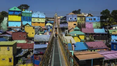
Earthquake centered in coastal Klungkung regency shakes up locals as they wake Tuesday morning.

An earthquake measuring 4.6 in magnitude rocked the Indonesian island of Bali as locals were waking up and preparing for the day Tuesday morning.
Local media quoted Flag Wijaya, spokesperson for the Disaster Management Disaster Management Agency of Bali, as saying, "The earthquake struck at 5:05 a.m., located at 8.68 south latitude and 115.75 east longitude."
The earthquake was centered in the northeast of coastal Klungkung regency, and had an epicenter around 121 miles (195 kilometers) from the sea.
No casualties or damage have been reported, and the earthquake does not have the potential to cause a tsunami.
Rofiki Hasan, a resident of provincial capital Denpasar who felt the tremors, told The Anadolu Agency, " the vibration of the earthquake was enough. This is already the fifth earthquake in 2014."
Indonesia lies within the Pacifics "Ring of Fire," where tectonic plates collide and cause frequent seismic and volcanic activity.
In 2004, an earthquake in the western island of Sumatra caused a series of devastating tsunamis around the Indian Ocean, killing over 230,000 people in 14 countries.
Most of the victims were in the provinces of Aceh and North Sumatra on the island.
Anadolu Agency
Similar News